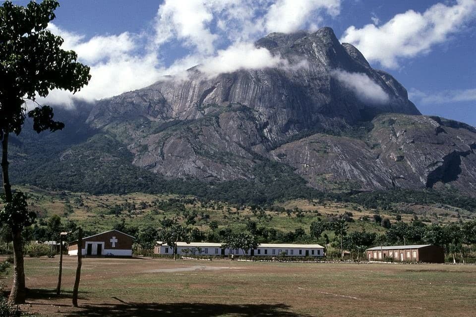
Wildlife Park, Tanzania, is home to the Great Wildebeest Migration – one of the top safaris in Tanzania – and the world’s largest intact caldera, expansive plains, and Mount Kilimanjaro. You can eat your lunch near a watering-hole popular with hippopotami, hunt for the mythical tree-climbing lion, and see huge tusked Elephants walking through the Serengeti on the best African safari. Tanzania is a great place to learn about Maasai cultures, observe wildlife in its natural habitat, or climb Mount Kilimanjaro. Zanzibar is the place to be for the ultimate safari experience in Africa.
Rwanda offers the most popular safaris in Africa. Mountain gorillas, golden monkeys, and other primates can be seen nearby. The complexity of a safari in Rwanda is more significant than first thought. A safari in Rwanda is more comprehensive than searching for gorillas. A trip to Land of a Thousand Hills is not just about seeing the Big 5; it also involves hiking up dormant mountains and relaxing by the “beach”.
Africa, its tradition of safari
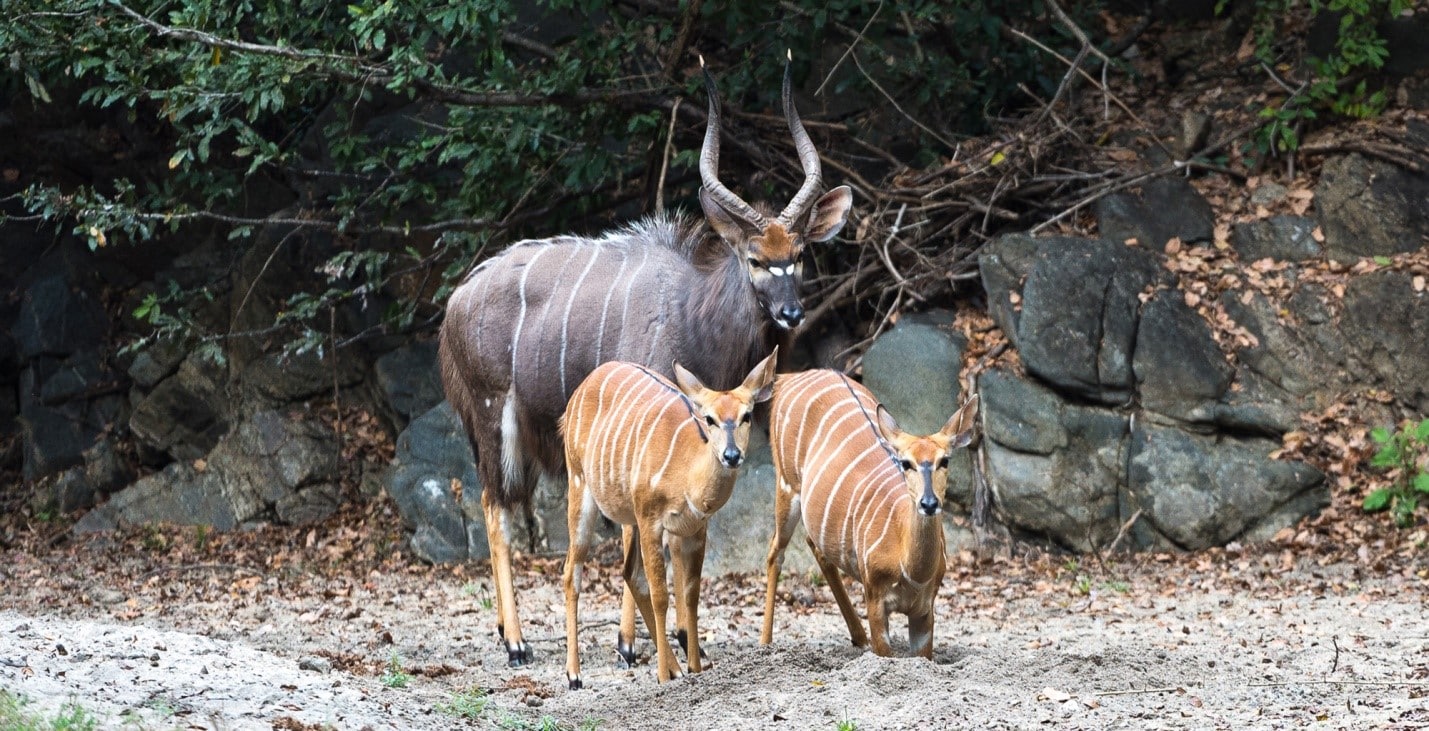
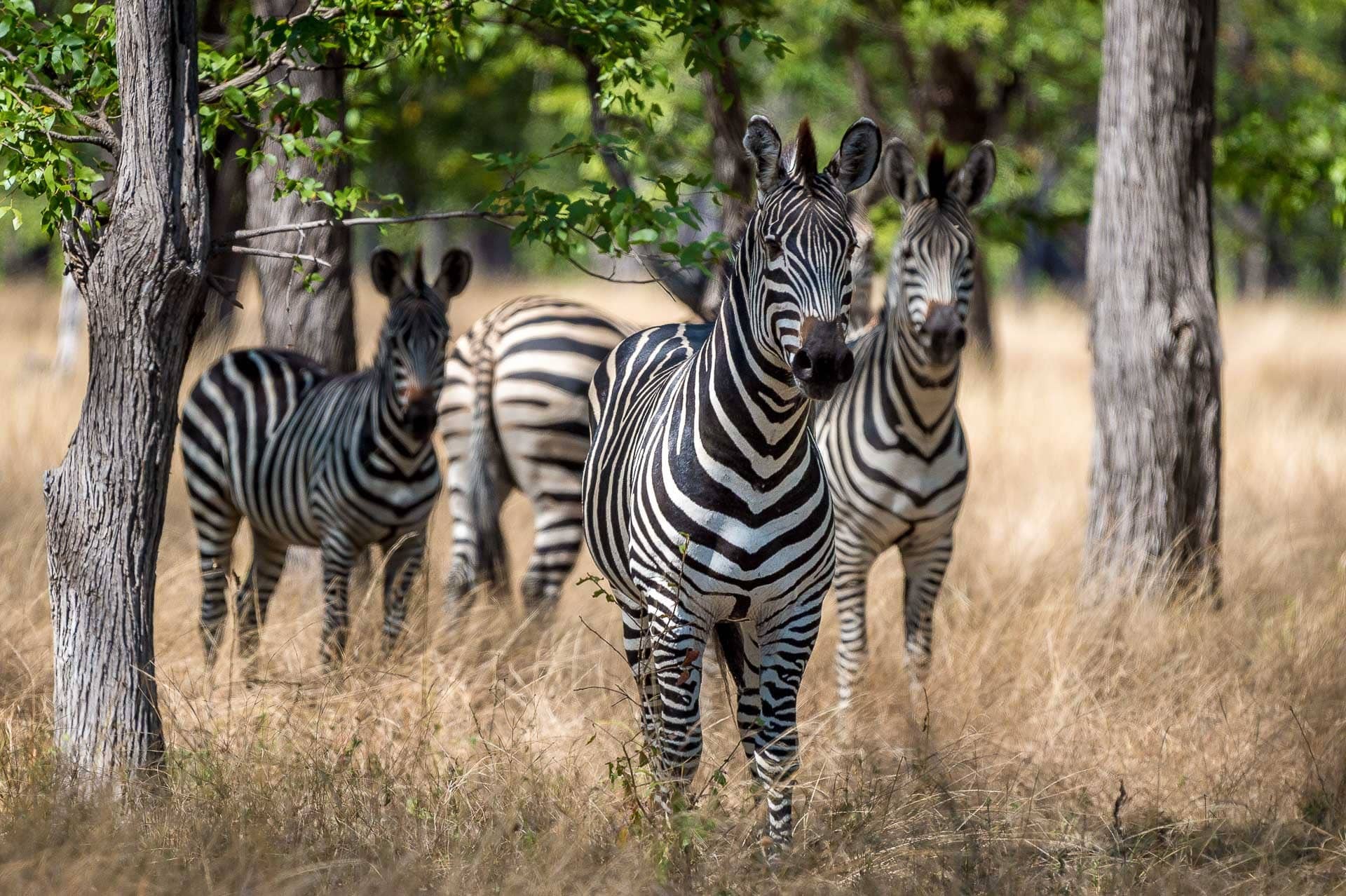
Africa is known as a continent with a wide variety of animals. It is like home to them.
Why go on safari?
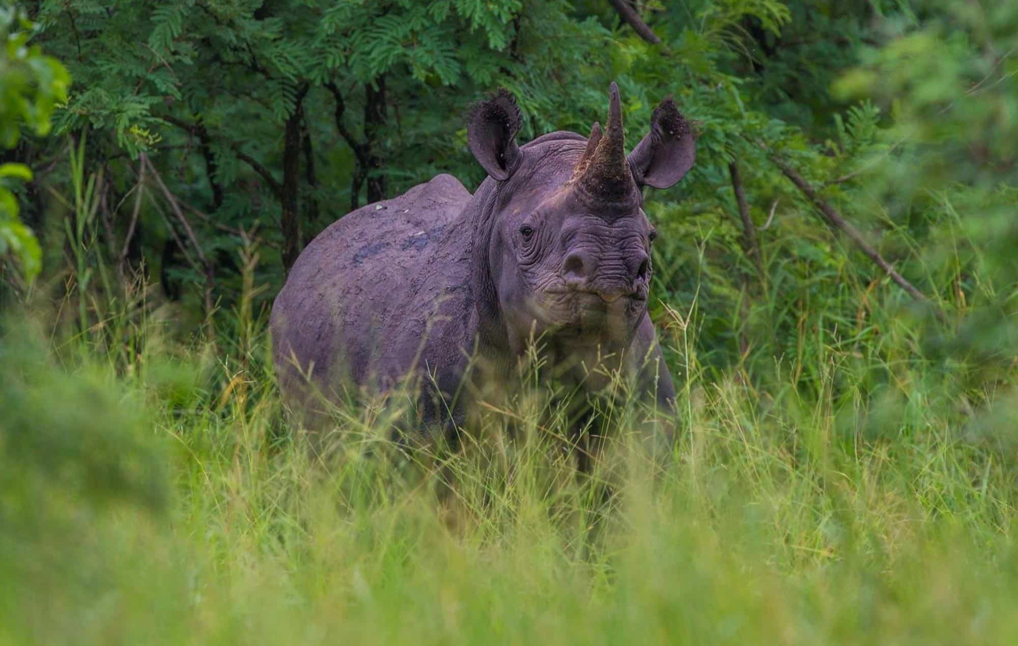
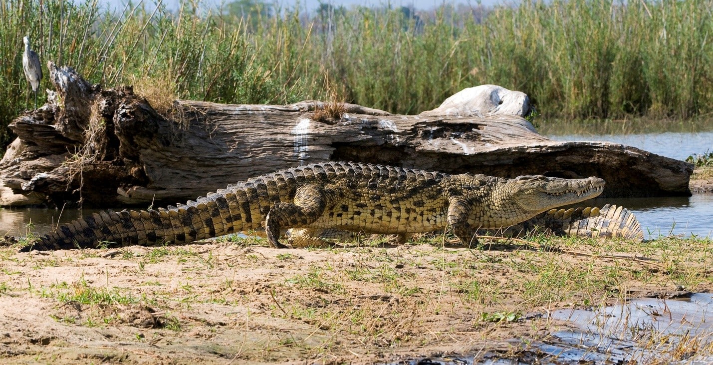
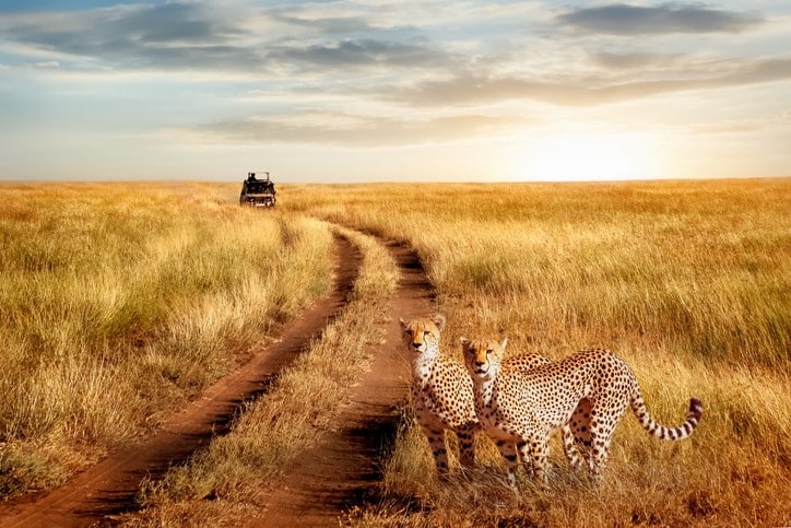
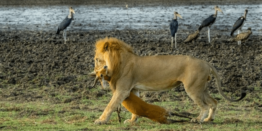
A safari is any journey that takes you into dense forests where you can observe and enjoy wild animals in their natural habitat. Africa has a very popular wildlife safari. While on safari, you will see lions in Africa, rhinoceros, Nile crocodiles, and elephants. This is a once-in-a-lifetime opportunity to observe them and their behavior. There are many ways to do safaris. Jeep and elephant safaris exist and compromise the best safari in Africa. Although elephant safaris are expensive, they can make for a more enjoyable safari.
Africa’s safaris are its best feature. It is possible to see wild animals there and watch their behavior. You will also be able to see trees and animals that you’ve never seen. You should have one safari in Africa if you plan to visit. It is the best thing about Africa.